*NEW* South Taconic Trails Map

South Taconic Trails Map 2024 South Taconic Trails Map 2024 South Taconic Trails Map 2024 South Taconic Trails Map 2024 South Taconic Trails Map 2024 South Taconic Trails Map 2024
$7.95
SKU:
978-1-944450-28-1
0

Get the Map on Your Phone or Tablet

2024 - 4th edition

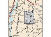
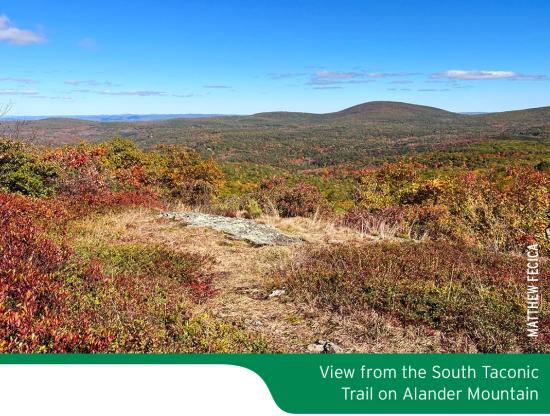
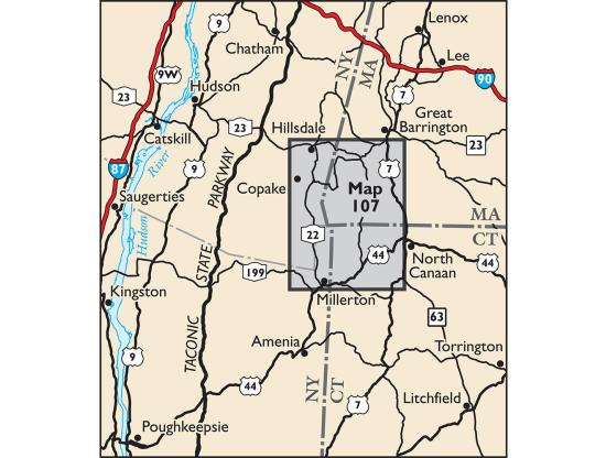
Our South Taconic Trails Map features trails in the South Taconic Mountains at the junction of New York, Massachusetts and Connecticut.
Buy This Combo and Save

Product Details

The new 2024 edition has arrived!
 

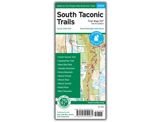
South Taconic Trails Map - 2024 - 4th edition

One map, map # 107

Our South Taconic Trails Map is a map featuring trails in the South Taconic Mountains at the junction of New York, Massachusetts and Connecticut.  The map is printed in vibrant color on waterproof and tear-resistant Tyvek, and is a must-have for enjoying the bountiful outdoor experiences throughout the South Taconics region.
There have been several significant changes since the last update in 2015, and the revised map includes:

  • The southern extension of the South Taconic Trail.
  • Nearly 10 miles of recently-completed sections of the Harlem Valley Rail Trail.
  • Several trail routes that have been updated with more recent GPS data.
  • Significant trail updates at Overmountain Conservation Area (formerly named "Round Ball Mountain").
  • Several newer preserves and trails in the Connecticut section of the map, many managed by the Salisbury Association Land Trust.
  • Viewpoint adjustments, trail mileage number additions and corrections, newly-acquired open space additions, and other adjustments throughout the map.


Map features include:

  • More than 100 miles of marked trails throughout the South Taconic Mountains
  • More than 20 parks and preserves, including Taconic State Park, Bash Bish Falls State Park, Mount Washington State Forest, Mount Everett State Reservation, Jug End State Reservation, and Mount Riga State Park
  • Sections of the Appalachian Trail and the entire South Taconic Trail
  • Detailed trail mileage numbers
  • 20-foot elevation contours
  • 1:50,000 scale (1 inch = 0.79 mile)
  • Convenient map sizes to carry and use on the trail
  • Enlarged inset map of popular Bash Bish area and adjacent state park campground at Copake Falls
  • Parkland boundaries
  • Unmaintained trails and woods roads
  • Shelters
  • Viewpoints, waterfalls, and other points of interest
  • Parking areas
  • Park contact information, history, and regulations
  • UTM coordinate grid


Our South Taconic Trails Map is also available on Apple and Android mobile devices through the Avenza Maps app.  Click here to download this updated map, or learn more about the app here.

Special thanks to volunteer project manager Dean Parmiter and all the volunteers and park partners who helped produce this map revision!

This map was also produced with support from Harney & Sons, a proud supporter of our volunteers!

Trail Conference maps are built on more than 90 years of mapping experience.  They are the trusted source for reliable trail information in the New York-New Jersey metropolitan region.  These maps are "Made By the People Who Build the Trails" and are regularly updated with changes to the trails.
 

Write a review

Log in or register to post comments